Key Takeaways
Singapore’s street names preserve traces of plantations, rivers, migration, colonial administration and ordinary work. Read together, they form a compact history of how the island changed.
- Orchard Road began as a rural plantation track before becoming a shopping boulevard.
- Names such as Stamford, Victoria and Waterloo reflect the colonial period and its habits of commemoration.
- North Bridge Road, South Bridge Road and Beach Road retain clues about an older shoreline and river crossing.
- Malay, Chinese, Arab and Indian communities shaped the names and character of many streets.
- A walk through these roads can reveal living heritage beyond the buildings normally found in guidebooks.
1. Orchard Road: From nutmeg plantations to Singapore’s shopping spine
Orchard Road sounds as though it was always made for department stores, bright signs and weekend crowds. Its earlier landscape was much quieter: a rural lane bordered by nutmeg and pepper plantations, with orchards giving the road its enduring name. The area lay beyond the early town, reached through a landscape of gardens, slopes and scattered estates.
The plantations did not prosper forever. Disease damaged the nutmeg crop in the nineteenth century, while the expanding settlement gradually pushed north and west. Country houses, cemeteries and later shops replaced much of the agricultural land, and the road became part of the city’s growing suburban edge. Its transformation shows how a place name can outlive the activity that first made it meaningful.
Today, Orchard Road is associated with retail and entertainment, but the old name keeps a rural memory beneath the polished surface. That contrast is one reason the stories behind Singapore’s streets reward a slower look: names often preserve landscapes that development has erased.
2. Stamford Road: The colonial official remembered in the city centre
Stamford Road commemorates Sir Stamford Raffles, the British official most closely associated with the establishment of Singapore as a British trading post in 1819. The name sits in the Civic District, close to institutions and public spaces that grew around the early colonial town. It therefore feels less like a private memorial and more like part of an official map of power.
Raffles was not the only person involved in the settlement’s early history, and the name should not flatten the many communities already connected to the island and its harbour. Malay seafarers, regional traders, labourers and established local networks all belonged to the story. A road named for one administrator can still open a wider question about whose work made the town function.
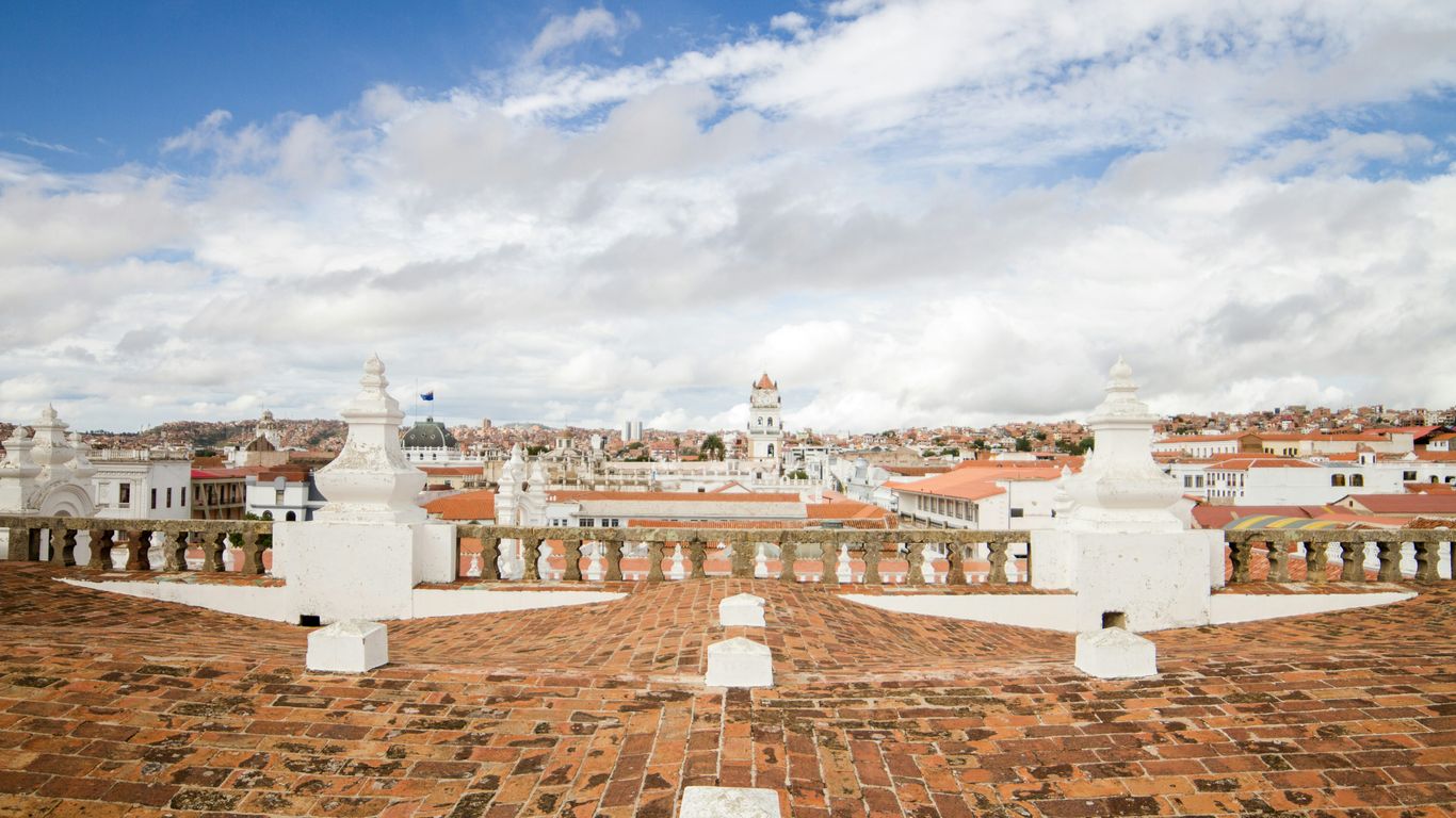
Walking along Stamford Road today brings together museums, performance spaces, schools and older civic buildings. The surroundings make the name legible as part of a colonial urban plan, while the people moving through the district keep giving the road meanings beyond its commemorative origin.
3. Raffles Place: How Commercial Square became a financial landmark
Raffles Place was first known as Commercial Square, a practical name for the business quarter developing beside the Singapore River. Warehouses, offices, counting houses and trading firms gathered there because the river connected the town to ships, lighters and regional commerce. The later name placed the district within the same commemorative tradition as Stamford Road.
The square changed as the port grew and business became more formally organised. Its location made it a natural centre for banks, exchanges and corporate offices, but the financial skyline rests on older layers of cargo handling and migrant labour. Coolies, lightermen, clerks and shopkeepers all helped turn the waterfront into a working commercial landscape.
A modern visitor may see towers first, yet the river remains the key to understanding the district. The Singapore River’s working history explains why this small area became so important: it was not simply chosen as a business address, but grew from the movement of goods, people and credit along the water.
4. Coleman Street: The architect behind Singapore’s early civic buildings
Coleman Street is named after George Drumgoole Coleman, an architect and surveyor whose work helped shape early Singapore’s civic appearance. He arrived during the formative years of the colonial settlement and became associated with buildings that gave the town a more permanent institutional character. The street preserves the memory of a professional whose influence can still be read in the city centre.
Coleman’s architecture responded to a tropical climate as well as European ideas of order and symmetry. Verandas, high ceilings, shaded openings and generous proportions were practical features, not merely decorative choices. His work belongs to a period when surveyors, builders, craftsmen and labourers were translating plans into structures suited to heat, rain and daily use.
Coleman Street now passes through a dense urban setting, so its name can be easy to skim over. Yet the surrounding civic buildings encourage a useful habit: connect a person on a sign with the materials, skills and institutions that made the city visible. Architectural history becomes more human when the buildings are considered as workplaces and public rooms rather than façades alone.
5. Waterloo Street: A European battle name in the heart of Bras Basah
Waterloo Street takes its name from the Battle of Waterloo, the 1815 European conflict in which the Duke of Wellington defeated Napoleon. Like several colonial-era names, it imported a distant event into Singapore’s local map. The name may seem out of place until it is read beside the churches, schools and civic institutions that marked the Bras Basah area.
The district developed as a meeting ground for education, religion and public life. Waterloo Street itself has long been associated with places of worship and communities whose daily routines gave the road a much richer local identity than its European reference suggests. A commemorative name became attached to processions, meals, lessons, prayers and passing generations.
That layering is typical of Singapore’s colonial street names history. The official label may point overseas, while the lived meaning grows here, through repeated use. A road can carry an imperial reference and still become thoroughly local through the people who walk, work and gather along it.
6. Victoria Street: Naming a road for a long-reigning queen
Victoria Street honours Queen Victoria, who ruled the United Kingdom from 1837 to 1901. The road was named in a period when British imperial authority was often expressed through public buildings, ceremonies and place names. Its position near the Civic District places it among several roads whose names reflect the hierarchy of the colonial administration.
Yet Victoria Street was never only a symbolic line on an official plan. It connected neighbourhoods, schools, shops and religious institutions, and its everyday traffic included people whose lives had little to do with the British court. The road’s history is therefore double-sided: its name announces imperial power, while its use records Singapore’s ordinary diversity.
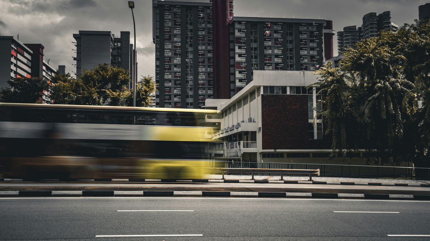
The street is a useful reminder that commemoration and daily life can occupy the same pavement. A queen’s name may be fixed in stone, but the character of the road has always been shaped by residents, worshippers, workers and students moving through Bras Basah and its edges.
7. Queen Street: The street that reflects Singapore’s colonial-era hierarchy
Queen Street also refers to Queen Victoria, rather than to an unnamed or later royal figure. Its location near Victoria Street makes the pairing especially clear, creating a small cluster of imperial names in the central city. Such naming was not accidental: colonial authorities often used roads to honour monarchs, officials, military figures and places connected to Britain.
The street’s social history, however, is more varied than the title implies. It has been associated with churches, schools, businesses and communities that developed around the central districts. The name reflects the official order of the time, while the street’s uses show how urban life was negotiated by people from many backgrounds.
A map can make hierarchy appear natural because every road label is given the same visual weight. On foot, the difference becomes more apparent. Queen Street belongs to a network of names that tells who colonial authorities wished to remember, even as neighbouring buildings and businesses reveal the broader society that actually lived there.
8. North Bridge Road: The route that once crossed the Singapore River
North Bridge Road was named for the bridge that carried the route across the Singapore River. The road linked the northern side of the town with the developing districts to the south, making it a practical connection rather than a tribute to a single person. Its companion, South Bridge Road, completed the logic of the crossing.
Before modern traffic engineering and wide transport corridors, the river was a working boundary. Boats, warehouses, ferries and foot traffic all shaped the experience of crossing it. The bridge made movement easier, but it also joined two areas with distinct patterns of trade, residence and community life.
The name is refreshingly direct. It records infrastructure, and infrastructure often reveals more about a city than grand monuments do. North Bridge Road points to the moment when a waterway became something to cross routinely, helping the settlement knit itself into a larger urban fabric.
9. South Bridge Road: A companion name shaped by the same historic crossing
South Bridge Road takes its name from the southern approach to the same historic crossing over the Singapore River. Together, North Bridge Road and South Bridge Road formed a simple directional pair, helping people navigate a town divided by water. Their names remain a small piece of evidence from an era when the river structured movement through the centre.
The southern side became closely linked with warehouses, markets, religious buildings and immigrant communities. Goods arrived, changed hands and moved inland, while families built institutions around work and worship. The road’s practical name thus sits within a much fuller history of commerce and settlement.
The two roads are best understood together rather than as isolated thoroughfares. Their relationship shows how official naming could be functional, while the life around the route became culturally dense. A bridge may solve a transport problem, but the streets leading to it gather the human consequences of that connection.
10. Beach Road: When the shoreline was much closer to the city
Beach Road preserves a striking clue about Singapore’s changing coastline. When the name took hold, the shore lay much nearer to the road than it does now, and the eastern edge of the town opened towards the sea. Reclamation later pushed the coastline outward, leaving the name to describe a geography that has largely disappeared.
The old shoreline was not an empty view. It was connected with boats, bathing, military activity, recreation and the practical business of a port. As the city expanded, land was created for roads, buildings and infrastructure, changing the relationship between the centre and the water.
That makes Beach Road one of the clearest examples of a name acting as a historical marker. The modern streetscape may feel far from a beach, but the label asks its readers to imagine an earlier edge of town. It also shows how urban growth can preserve language while completely remaking the landscape behind it.
11. Keppel Road: The naval commander behind a major western thoroughfare
Keppel Road is associated with Admiral Sir Henry Keppel, a British naval commander who visited Singapore and became part of the colonial record of the harbour. The road runs through the western side of the central area, close to places transformed by docks, railways, industry and later redevelopment. Its name reflects the maritime importance of the island.
Keppel’s association with Singapore belongs to the age when naval power and commercial shipping were tightly connected. Harbours were strategic spaces as well as workplaces, and their development affected dock labourers, merchants, transport workers and nearby communities. The road’s history therefore reaches beyond the individual named on the sign.
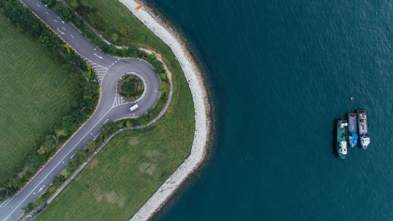
The western approaches can feel thoroughly modern, but the maritime connection remains legible in the route itself. Keppel Road invites a reading of Singapore as a port built through movement: ships offshore, cargo on land and people whose work joined the two.
12. Jalan Besar: The Malay phrase that simply means “big road”
Jalan Besar translates simply as “big road” in Malay. The name is descriptive rather than commemorative, suggesting a substantial route through what was once a less built-up part of the island. Its plainness is part of its charm: not every street needed a governor, monarch or battle to explain its place on the map.
The road became a link between the central city and northern settlements, passing through areas associated with agriculture, industry, housing and commerce. Over time, development made the route busier and more urban, but the Malay name remained. It is a reminder that local descriptions could survive alongside the imported names of colonial administration.
Several features of road naming can be seen in this one phrase: language, function and gradual urban change. A useful way to read Jalan Besar is to ask what counted as “big” when the road was named, and what kinds of movement made that scale visible.
Road names often preserve different kinds of evidence, and a short comparison helps keep them distinct:
| Name type | Example | What it records | Landscape behind it |
|---|---|---|---|
| Descriptive | Jalan Besar | Size or function | A developing route |
| Commemorative | Victoria Street | A person or authority | Colonial civic order |
| Geographic | Beach Road | A natural feature | An altered shoreline |
| Transport-based | North Bridge Road | Infrastructure | A river crossing |
The table shows why no single explanation fits Singapore’s roads. Some names honour power, others describe terrain or infrastructure, and many acquire new meanings through everyday use.
13. Arab Street: Trade, faith and the Arab community around Kampong Glam
Arab Street is closely associated with the Arab community and with Kampong Glam, a district shaped by trade, Islamic institutions and the Malay sultanate’s presence. The name points to a community whose commercial and religious networks connected Singapore to the wider region. It should not be read as a complete label for everyone who lived or worked in the area.
The street and its surroundings developed through textiles, perfumery, food, pilgrimage-related commerce and other forms of trade. Nearby places of worship and royal associations gave the district a strong cultural geography, while shopkeepers and residents made it an active neighbourhood rather than a museum piece. The atmosphere came from repeated daily practices: opening shutters, preparing food, greeting customers and gathering for prayer.
Visitors who look beyond the most photographed façades can see how community memory remains embedded in the district. Singapore Heritage’s Kampong Glam heritage walks take the same broad approach, connecting neighbourhood stories with the places and practices that keep them alive.
14. Tanjong Pagar Road: The “cape of stakes” and Singapore’s fishing past
Tanjong Pagar is commonly explained through a Malay phrase meaning “cape of stakes” or “point of stakes”. One interpretation connects the name with fishing stakes set along the shore, though place-name histories can hold more than one reading. Whatever the exact origin, the phrase directs attention towards a coastal landscape very different from the dense district seen today.
Fishing, shoreline work and small settlements belonged to Tanjong Pagar’s earlier story. The area later changed through port expansion, dock activity, housing and commercial development. As the waterfront was reshaped, the old name remained as a linguistic trace of a time when the cape and its waters were more immediate parts of local life.
The road’s later history is equally layered. Migrant workers, businesses, families and transport networks all contributed to its character, while redevelopment brought new towers and connections. Tanjong Pagar demonstrates how a name can preserve an older ecology even as the neighbourhood becomes a major urban centre.
15. Bukit Timah Road: What the name reveals about hills, tin and the interior
Bukit Timah combines Malay words commonly understood as “tin hill” or “tin-bearing hill”. The name points to the island’s interior terrain and to the mineral resources that attracted attention during the nineteenth century. It also reminds readers that Singapore’s history was not confined to the waterfront.
The road became an important route inland, passing through plantations, forests, estates and later suburban development. Its rise and distance from the early town made it useful for movement into a landscape that was once far less settled. The route’s changing edges show how roads often lead development rather than merely follow it.
Bukit Timah’s name is not a complete geological report, and interpretations of old place names can be debated. Still, it encourages attention to hills, streams, vegetation and extraction. Beneath today’s traffic, the road belongs to a longer story of how the island’s interior was surveyed, cultivated and connected.
16. Eu Tong Sen Street: The businessman and philanthropist behind the name
Eu Tong Sen Street commemorates Eu Tong Sen, a businessman associated with tin mining, property and philanthropy in Singapore and Malaya. The road lies near Chinatown and the Singapore River, where commercial activity brought together merchants, workers, residents and visitors. Its name reflects the role of Chinese entrepreneurs in the growth of the city.
Eu Tong Sen’s public memory is tied not only to business but also to donations and civic support. Like many names attached to urban streets, it can simplify a complicated life into a short label. The surrounding district restores some of the texture, with clan associations, temples, shops and food businesses showing the social worlds that commerce helped sustain.
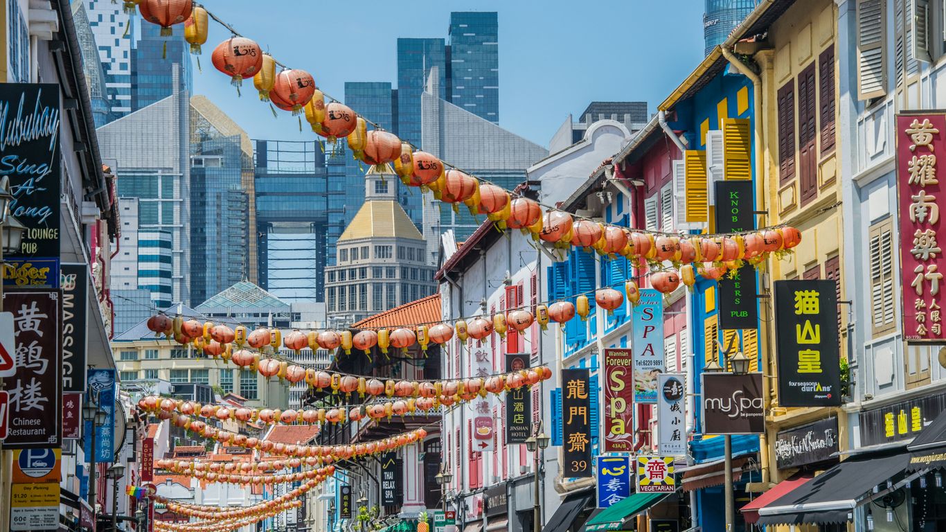
The road also illustrates how urban memory is selective. A prominent individual may receive the name, while thousands of less visible workers remain unnamed. A thoughtful walk through Chinatown can hold both truths at once, noticing the benefactor on the sign and the everyday labour that made the district prosper.
17. Tan Quee Lan Street: A Chinese merchant’s place in Singapore’s urban memory
Tan Quee Lan Street is named after Tan Quee Lan, a Chinese merchant remembered in the central area’s historical landscape. The street sits near Waterloo Street, Victoria Street and Queen Street, where a dense network of colonial and community histories meets. Its name provides a counterpoint to roads commemorating British officials and royalty.
Chinese merchants were involved in trade, property, associations and philanthropy, helping shape the commercial life of nineteenth-century Singapore. Their contributions were often recorded through businesses, schools, temples and community institutions as well as through personal names. Tan Quee Lan Street is therefore part of a wider story of migration and local belonging.
The road is not grand in scale, which makes its survival particularly suggestive. Urban memory does not require a boulevard to endure. Sometimes a short street, a shopfront and a familiar name carry a community’s presence more quietly than the city’s official monuments do.
18. Geylang Road: Untangling the competing theories behind a familiar name
Geylang Road has attracted several explanations, and none should be presented too confidently without acknowledging the uncertainty. The name has been linked to variations in Malay words, regional place references and older spellings recorded by colonial observers. Such changes are common when names move between spoken languages, official documents and maps.
The surrounding area was once associated with plantations and coconut cultivation before becoming a major corridor of settlement and commerce. Malay communities, Chinese businesses, religious institutions, food stalls and later entertainment venues all contributed to its layered identity. The road’s reputation has often overshadowed these ordinary histories.
Its uncertain etymology is not a weakness. It shows that place names are living evidence, shaped by pronunciation, translation and administration. Reading Geylang Road carefully means holding the competing theories alongside the much clearer record of communities making a life along the route.
19. Kallang Road: The river, the community and the name that predates modern Singapore
Kallang Road takes its name from the Kallang area and the Kallang River. “Kallang” is associated with the Orang Kallang, a seafaring community connected with the river and its surrounding waters. The name therefore reaches back beyond the formal colonial street plan, carrying an older relationship between people and the landscape.
The river supported fishing, transport, industry and later large-scale infrastructure. As the city expanded, wetlands and waterways were engineered, filled or redirected, while roads and housing changed the banks. Yet the name continued to mark a place where water had once been central to movement and livelihood.
Kallang Road is best read as a reminder that Singapore’s urban history did not begin with colonial mapping. Rivers, coastal communities and regional networks were already shaping the island. The road’s present-day bustle sits on top of those earlier connections rather than replacing them entirely.
20. Serangoon Road: How an old route became a corridor of migration and commerce
Serangoon Road was an old route leading north-east from the early town towards Serangoon and the interior. It connected the centre with plantations, villages and later expanding settlements. As the route became more urban, it gathered markets, workshops, religious buildings and homes along its edges.
The road is especially associated with Little India, where Indian migration and commerce shaped its visible character. Textiles, spices, goldsmiths, eateries and places of worship formed a lively corridor, but the story also includes municipal workers, transport operators, families and businesses from many communities. Its identity comes from accumulation rather than a single founding moment.
Serangoon Road makes a fitting final stop because it brings the themes together: an old route, changing land use, migration and daily trade. For readers planning to explore on foot, plan a heritage route with time to notice signs, thresholds, smells and working spaces rather than rushing between landmarks. That slower attention is often where the city’s less obvious history begins to speak.
Walk the Stories in Person
Singapore Heritage creates small-group heritage walks and storytelling experiences rooted in neighbourhoods, foodways, objects and everyday practices. Readers who want to move from the map to the street can browse routes guided by people familiar with the places and communities behind them.
Conclusion
Singapore’s street names are small vessels for a large history: plantations became retail districts, shorelines moved, rivers were bridged, and migrant communities made new homes through trade and faith. Read with care, the map becomes less a directory of roads than a record of changing landscapes and lived experience.
Frequently Asked Questions
Why do so many Singapore streets have British names?
Many roads were named during the colonial period after monarchs, officials, military figures and places connected with Britain. Those names remain alongside older Malay names and names linked to local communities, businesses and landscapes.
What is the history behind Orchard Road’s name?
Orchard Road was named for the plantations and orchards that once occupied the area. Nutmeg and other crops were grown there before urban development transformed it into a major commercial district.
Why are North Bridge Road and South Bridge Road named as a pair?
The names refer to the two approaches to a historic bridge across the Singapore River. Together, they describe an important route that connected the northern and southern parts of the early town.
Does Beach Road still lead to the beach?
The shoreline was once much closer to Beach Road than it is today. Land reclamation moved the coast outward, but the name remains as a reminder of the earlier geography.
Which Singapore street names come from Malay?
Examples include Jalan Besar, Bukit Timah, Tanjong Pagar and Kallang. Their meanings and histories relate to roads, hills, coastal features, rivers and communities, although some interpretations remain debated.
Why do some street-name origins have several explanations?
Older names passed through spoken languages, different writing systems and colonial record-keeping. Spellings and pronunciations changed, and later researchers may interpret the surviving evidence differently.
How can visitors learn more from Singapore’s street names?
They can walk slowly, compare nearby names, notice old buildings and observe how people use the area today. Local heritage trails, museums and community-led experiences can add context that a road sign alone cannot provide.