Key Takeaways
Toa Payoh’s story is a story of water, work, movement and collective adaptation.
- The name Toa Payoh recalls a landscape once marked by a large swamp.
- Kampongs, farms and small rural businesses shaped everyday life before redevelopment.
- Drainage, roads and resettlement prepared the area for large-scale public housing.
- HDB planning created a self-contained new town with homes, schools, markets and shared spaces.
- Modern Toa Payoh still carries traces of its rural past through memory, food and community life.
1. What the name Toa Payoh reveals about its early landscape
Before the towers, traffic junctions and town-centre shops, Toa Payoh was understood through its ground and water. The area’s name offered a plain description of that setting, while the lives built around it gave the landscape its human meaning. To understand toa payoh history, it helps to begin not with a block number but with the swampy terrain beneath the town.
The meaning of “Toa Payoh” and its links to the area’s terrain
“Toa Payoh” is commonly explained as “big swamp”: “Toa” refers to something large in Hokkien, while “payoh” is associated with swamp in Malay. The name is more than a translation exercise. It suggests low-lying ground, standing water and a place whose boundaries were once read through ponds, muddy edges and drainage channels rather than through broad avenues.
Names often preserve an earlier way of seeing. In this case, the old name points towards the physical conditions that influenced settlement, farming and movement. The future new town would be built by changing those conditions, but the name continued to hold the older landscape in view.
From rural fringe to a settled community north of central Singapore
Toa Payoh lay beyond the most crowded parts of the old city, yet it was not an empty wilderness. Families, workers and small businesses occupied the rural fringe, making use of whatever dry ground, road access and water sources were available. A useful wider context can be found in this history of Singapore’s ordinary people, which places kampongs and overlooked workers alongside the better-known events of national history.
The district gradually became a settled community with its own routines. People travelled for work, children attended nearby schools, and neighbours developed practical knowledge of the paths and shortcuts that connected scattered homes. The settlement was modest, but it already had the social texture of a neighbourhood.
Why the district’s history is inseparable from water, soil and drainage
Water affected almost every decision about life in early Toa Payoh. It shaped where homes could stand, how crops were grown, how goods moved and whether a route remained passable after heavy rain. The soil, too, mattered: transforming a wet landscape into a stable urban district required more than drawing streets on a plan.
That physical work can be easy to overlook when the finished town appears orderly. Yet the drains, filled areas and raised roads were part of the town’s earliest infrastructure. Toa Payoh’s transformation was therefore both social and geological, involving the movement of people as well as the reshaping of the ground.
2. Kampongs, farms and everyday life before redevelopment
The pre-HDB landscape was rural without being isolated. Kampongs stood among vegetable plots, ponds and small holdings, and residents made a living through a mixture of cultivation, animal rearing, trading and casual work. Those activities gave the area an everyday rhythm that was very different from the high-rise town that followed.
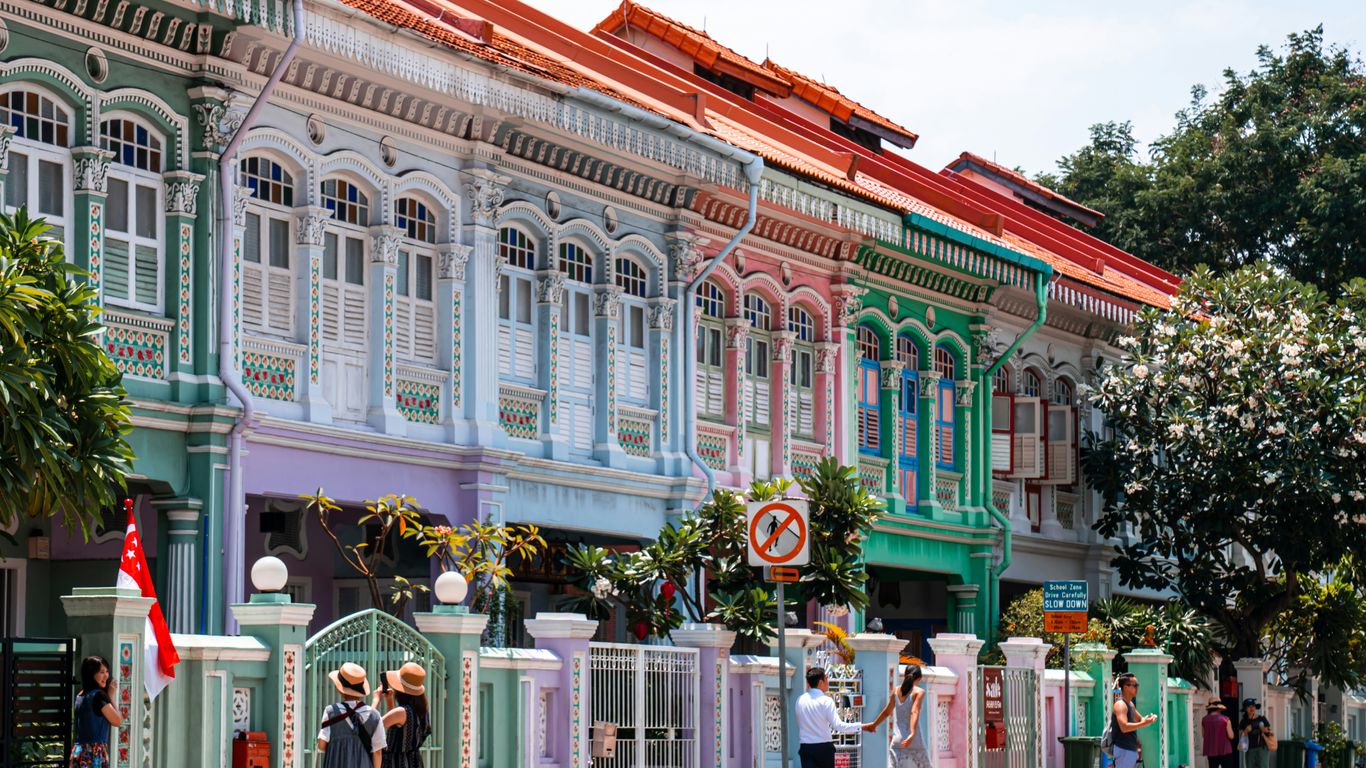
The families who lived and worked around the swamps
Families settled close to the work that sustained them, often building lives around shared paths and familiar neighbours. Homes were not simply private units; they were part of a wider web of relatives, friends and workmates who could lend tools, watch children or help after a storm. The wet ground demanded alertness, but it also encouraged cooperation.
For many residents, the kampong was remembered through ordinary details: a cooking fire, a footbridge, a bicycle leaning against a wall, or a neighbour calling across an open yard. These details matter because they show how a place becomes home before it is formally designated as a town.
Vegetable plots, livestock and small-scale rural industries
Farming was a central part of the area’s older economy. Vegetable plots supplied food to nearby communities, while livestock and other small rural enterprises added to household incomes. Work followed the seasons and the weather, with early starts, muddy hands and constant attention to water.
The landscape supported a range of livelihoods rather than one neat industry. A household might combine farming with transport, repair work or selling food. That mixed economy made the community flexible, even when earnings were uncertain.
Community ties, shared spaces and the practical spirit of kampong life
Shared spaces were woven into the practical life of the kampongs. Paths, clearings and informal gathering places served several purposes, allowing people to meet, work, celebrate and solve immediate problems together. The arrangement was not planned in the modern estate sense, but it produced a strong awareness of who lived nearby.
This was not a romantic world without hardship. Housing could be basic, services limited and access difficult. Still, the community’s habits of mutual help became part of the memory later attached to Toa Payoh, much as the stories of Chinatown’s old shophouses reveal how homes and workplaces could also function as social infrastructure.
3. The swamps and the challenges of living on unstable ground
The swamp was not merely a picturesque feature of old Toa Payoh. It could flood, slow journeys and make construction difficult, especially when rain turned tracks into deep mud. Improving the area meant tackling physical constraints that had shaped local life for decades.
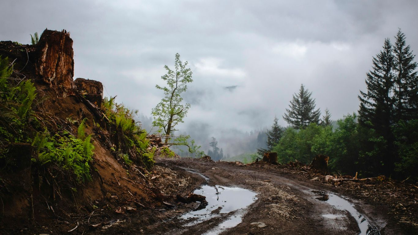
Flooding, muddy paths and the seasonal realities of the wetland landscape
Heavy rain changed the experience of distance. A route that seemed manageable in dry weather could become slippery or submerged, and low-lying homes faced the nuisance of water entering yards and paths. Residents developed local knowledge about safer crossings, timing journeys and protecting household belongings.
These seasonal realities also limited access to education, markets and employment. A town’s future could not rest on informal paths alone. Roads and drains were not glamorous projects, but they determined whether a settlement could support a larger and more secure population.
How roads, drains and transport gradually connected Toa Payoh
Connection came incrementally. Existing routes were improved, drainage was extended and public transport made it easier for people to move between the rural district and the wider city. Each improvement reduced the sense that the swampy fringe was beyond the everyday reach of central Singapore.
Transport also changed opportunity. Workers could travel more reliably, goods could be carried further and services could reach more households. Infrastructure did not erase the old landscape immediately, but it made a different scale of settlement possible.
The tension between preserving a rural way of life and improving living conditions
Redevelopment carried a genuine promise of better housing and services, but it also threatened familiar places and established livelihoods. The decision was not simply between old and new buildings. It involved the loss of working landscapes, neighbours, routines and landmarks that had never appeared on formal maps.
A practical way to understand the change is to hold both truths together:
- The kampongs offered close social ties and detailed local knowledge.
- Rural housing and access could be insecure or uncomfortable.
- New infrastructure improved movement, sanitation and public services.
- Clearance disrupted livelihoods and separated established communities.
The resulting history is neither a simple tale of progress nor a straightforward lament for what disappeared. It is a record of trade-offs made under pressure.
4. Why Toa Payoh became a priority for public housing
By the middle of the twentieth century, Singapore faced an urgent housing problem. Many people lived in crowded city districts or informal settlements, while the growing population needed homes with dependable water, sanitation and transport. Toa Payoh’s open, centrally placed land made it a significant opportunity for a new approach.
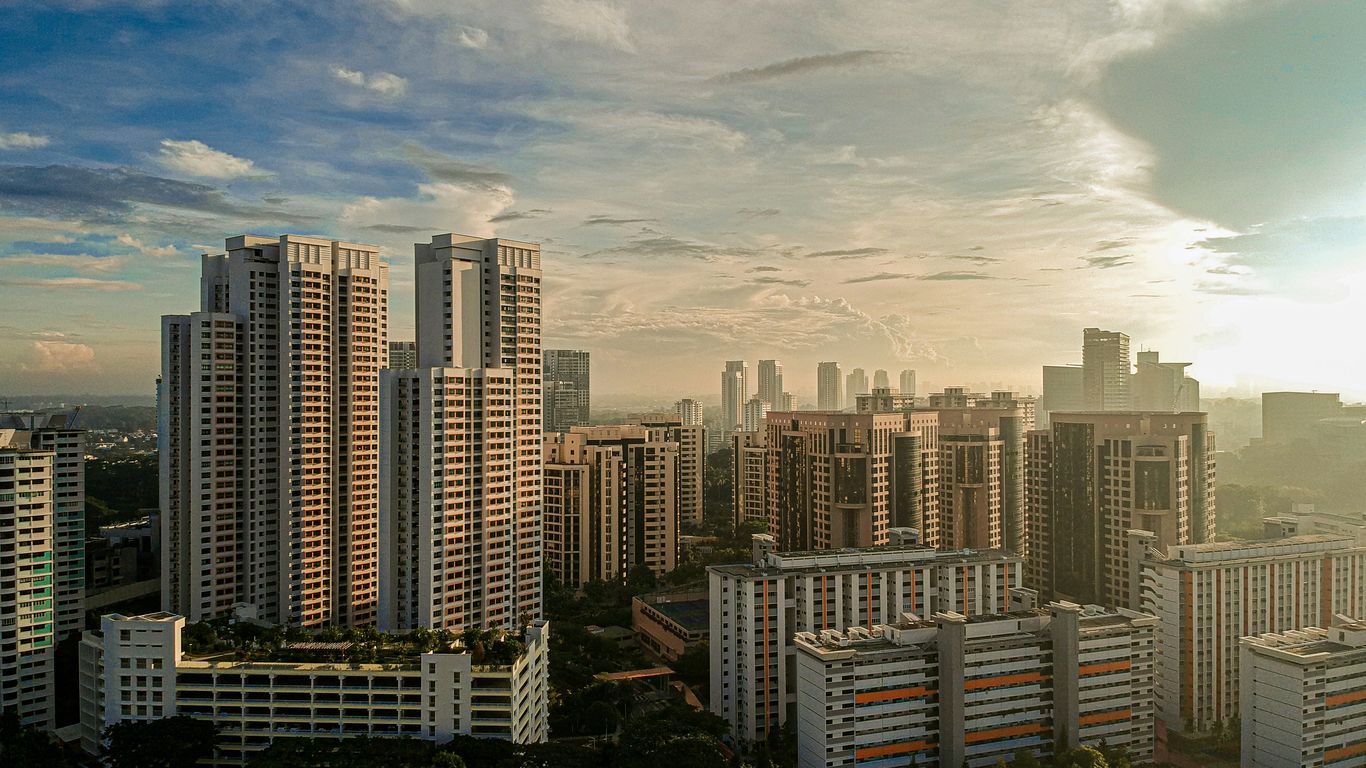
Singapore’s housing shortage and the limits of overcrowded city districts
Overcrowding affected health, privacy and family life. Rooms were shared, buildings were densely packed, and public facilities struggled to keep pace. The need was not for a handful of replacement homes but for entire neighbourhoods that could support daily life at scale.
Toa Payoh offered room for that ambition. Its distance from the old city was manageable, while its undeveloped areas allowed planners to think in terms of roads, housing clusters and public amenities together. The town would become one of the clearest early expressions of this approach.
Land clearance, resettlement and the disruption of established kampongs
Clearance made construction possible, but it came at a human cost. Residents of kampongs and other settlements had to move, and the change could unsettle work, schooling, social networks and family arrangements. Compensation and rehousing addressed some practical needs, yet they could not reproduce every relationship tied to a particular path or plot.
The process also changed the meaning of land. Areas once valued for cultivation or household enterprise were reassigned to roads, blocks and civic facilities. The new town was designed for a larger population, but its foundations lay in places that had already been lived in and worked.
The planning decisions that made Toa Payoh suitable for a new town
Toa Payoh’s location, available land and potential connections made it suitable for comprehensive planning. Rather than adding homes one by one, planners could organise a town with housing, transport, schools, markets and open spaces in relation to one another. This self-contained model helped residents meet many daily needs close to home.
The broad planning logic can be seen in the contrast between the old and new settlement patterns:
| Feature | Earlier Toa Payoh | Planned new town |
|---|---|---|
| Housing | Scattered homes and kampongs | High-rise blocks in organised estates |
| Movement | Informal paths and rural roads | Drains, roads, buses and later rail connections |
| Livelihoods | Farms, livestock and small enterprises | Residential, commercial and institutional activity |
| Services | Uneven and locally improvised | Schools, markets and amenities planned nearby |
The table does not make the transition soundless or smooth. It shows instead why Toa Payoh was valuable to public-housing planners: the area could be remade as a functioning urban district while retaining a strong connection to the wider city.
5. Building Toa Payoh New Town in the 1960s and 1970s
Construction altered the skyline first, then the daily habits of residents. Blocks rose where huts, ponds and plots had stood, and families moved into homes with more regular services and clearer connections to town facilities. The scale of the work was striking because the new town was built not as a single building project but as a complete urban environment.
The arrival of HDB blocks and a new high-rise way of living
The Housing and Development Board, established in 1960, drove the public-housing programme that reshaped Toa Payoh. The town became an early major example of high-rise living, bringing households into flats arranged around shared circulation, lifts and common ground. For residents arriving from more crowded or informal housing, the change could feel both liberating and unfamiliar.
High-rise living altered neighbourly contact. People no longer met only along a kampong path or at a doorway; they encountered one another in stairwells, lifts, corridors, playgrounds and the spaces beneath blocks. The architecture created new forms of proximity, even as it removed the older rural setting.
Designing schools, markets, playgrounds and services within walking distance
A new town had to work at the pace of ordinary life. Children needed schools, families needed food markets and workers needed transport, while older residents needed places to sit, meet and manage errands without long journeys. These facilities gave the blocks a civic setting rather than leaving them as isolated towers.
The arrangement also helped turn unfamiliar estates into recognisable neighbourhoods. A market became a meeting point; a school anchored family routines; a playground gave children a territory of their own. Planning mattered, but the meaning of each place came from repeated use.
Balancing large-scale construction with Toa Payoh’s existing landscape and communities
The construction programme had to overcome swampy ground and reorganise existing communities at the same time. Roads, drains and building platforms were part of one immense act of adjustment. The finished estate looked orderly, but that order depended on years of engineering, clearance and negotiation.
The result was not a clean break from the past. Former residents carried memories into the flats, while new arrivals developed their own stories around the town centre, bus routes and shared facilities. Toa Payoh’s high-rise identity was therefore made by people as much as by concrete.
6. How residents made the new town their own
A planned estate becomes a neighbourhood only through use. Residents gave Toa Payoh character by turning facilities into meeting places, adapting shared areas to the rhythms of family life and creating memories that planners could not specify in advance. Food, conversation and repeated encounters softened the newness of the blocks.
Hawker centres, coffee shops and markets as places of connection
Markets and eating places gathered different households around familiar routines. A coffee shop could hold an early-morning conversation, while a hawker centre brought together workers, schoolchildren and families at different points in the day. These were not decorative additions to the town; they were social infrastructure.
Singapore’s wider hawker tradition shows how food spaces can become a shared dining room as well as a place to eat. The history of Singapore’s hawker culture helps place Toa Payoh’s food centres within that larger story of urban planning, migration and everyday sociability.
Void decks, playgrounds and common spaces in everyday neighbourhood life
The void deck became a flexible threshold between home and street. It offered shade, shelter and room for encounters, while playgrounds gave children a place to test independence within a familiar estate. Residents learned which corners were quiet, which benches caught the breeze and where neighbours were likely to appear.
These spaces also allowed the town to accommodate different generations. Older people could remain close to home, parents could keep an eye on children, and teenagers could gather without needing a formal venue. The architecture’s most lasting social effects often came from these ordinary, shared margins.
The changing experience of growing up in Toa Payoh’s early HDB estates
For children growing up in the early estates, Toa Payoh was a world of lifts, corridors, playgrounds, school routes and shopfronts. The town was dense, but it was also legible: familiar adults watched out for one another, and small errands became opportunities for independence. Memories of growing up there often combine the excitement of a modern town with affection for its rougher, earlier years.
That attention to lived experience is central to Singapore Heritage, whose researched stories connect neighbourhoods with foodways, objects, old trades and walking itineraries. A walk through Toa Payoh, approached patiently, can similarly begin with a block or market and open into a much longer history.
7. Toa Payoh history and the legacy of a transformed landscape
Modern Toa Payoh can appear fully urban, yet its earlier geography has not vanished entirely. It survives in names, memories, routes, fragments of open space and the stories told by residents who remember the change. The town is also significant because it demonstrates how public housing became a framework for nation-building and everyday belonging.
What remains of the kampongs and swamps in the modern town
Most residents no longer encounter the swamp as an obstacle in the old sense, but water and ground remain part of the town’s background. Drainage channels, planted spaces and the arrangement of roads hint at the work required to make the land habitable for a dense population. Oral memories add what the physical traces cannot show: where families lived, what was grown and which paths once mattered.
The modern landscape should therefore be read in layers. Its blocks and amenities belong to one period, while memories of farms, ponds and kampongs belong to another. Neither layer is complete on its own.
The district’s role in shaping Singapore’s public-housing model
Toa Payoh helped demonstrate the possibilities of a self-contained new town. Housing was planned alongside transport, education, food, recreation and commercial services, creating a model that could be adapted elsewhere. Its importance lies not only in the number of flats built but in the idea that a housing estate could support a full social life.
A broader timeline of Singapore’s turning points shows how housing, infrastructure and education were bound up with the country’s wider transformation. Toa Payoh belongs within that national story, while still retaining the particular memories of its residents.
Why Toa Payoh still represents both rapid nation-building and local memory
Toa Payoh holds two narratives at once. It represents the speed and confidence of a young state solving an urgent housing crisis, but it also recalls the people and places displaced by that solution. The tension is precisely what makes the district so compelling: progress is visible in concrete, while loss and belonging are carried through memory.
Singapore Heritage’s small-group heritage walks and storytelling experiences are rooted in neighbourhoods, foodways, objects, places and everyday practices. That approach suits Toa Payoh, where the past is best understood not as a frozen monument but through the ordinary details that continue to connect people with place. Readers who want to explore heritage walks can carry that same attentive spirit into the town’s streets and shared spaces.
CTA: Walk the Stories
To see Singapore through lived neighbourhood histories, explore Singapore Heritage’s small-group heritage walks and story-led experiences, where familiar places can open into deeper local memory.
Conclusion
Toa Payoh was transformed from a swampy rural district into a pioneering new town, but its history did not end when the HDB blocks rose; it continued through the routines, relationships and memories that made the planned estate feel like home.
Frequently Asked Questions
What does “Toa Payoh” mean?
“Toa Payoh” is commonly understood as “big swamp”, combining a Hokkien word associated with something large and a Malay term linked to swamp or wetland.
What was Toa Payoh like before public housing?
It was a rural landscape of kampongs, vegetable plots, ponds, huts and small-scale livelihoods, with families living and working around areas of wet and unstable ground.
Why was Toa Payoh chosen for redevelopment?
Its location, available land and potential for improved roads and drainage made it suitable for comprehensive planning during Singapore’s severe housing shortage.
When did Toa Payoh New Town begin to develop?
Major public-housing development began in the 1960s, following the establishment of the Housing and Development Board in 1960, and continued through the 1970s.
How did redevelopment affect kampong residents?
Redevelopment provided access to more formal housing and services, but it also required resettlement and disrupted established livelihoods, neighbours and familiar landscapes.
What facilities helped make the new town self-contained?
Schools, markets, playgrounds, transport connections, eating places and common spaces were planned alongside housing so that many daily needs could be met close to home.
Why is Toa Payoh’s history still relevant?
The district shows how Singapore’s public-housing programme changed the physical landscape while also revealing the human costs, adaptations and community memories behind that transformation.