Key Takeaways
The Singapore River was never only a stretch of water. It was a working landscape shaped by sailors, merchants, labourers, families and the buildings that held their goods.
- The river’s sheltered mouth helped make Singapore a regional meeting point before 1819.
- British free-trade policies turned the waterfront into the centre of an expanding entrepôt.
- Coolies, lightermen and boat owners performed the physical work behind the port’s growth.
- Godowns and quays organised an intense flow of cargo, money and people.
- The clean-up relocated river trade but preserved a layered waterfront for later generations.
Why the Singapore River mattered before the modern port
Long before container terminals and deep-water berths, the river mouth offered a practical place to arrive, wait, exchange goods and find fresh water. Its importance grew from geography, but geography alone does not explain its story. People gave the waterway meaning through movement and use. The surviving shape of the banks still hints at a much older relationship between island, sea and settlement.
Temasek, early trade and the river’s strategic setting
Singapore was known in earlier periods as Temasek, a name associated with a trading settlement at the southern end of the Malay Peninsula. Its position near the routes linking the South China Sea and the Straits of Malacca made it useful to vessels moving between regional markets. The river was modest in length, yet its mouth opened towards a busy maritime world. That combination of inland shelter and access to open water mattered more than size.
The river mouth as a natural harbour and meeting point
A river mouth could offer calmer water than the exposed coast, giving small craft a place to anchor, repair, trade and wait for favourable conditions. Boats arriving from nearby islands did not need the facilities of a modern port to take part in exchange. They needed shore access, local knowledge and people able to handle cargo. The river therefore worked as a meeting point between maritime journeys and land-based trade.
Regional connections across the Malay world
The river belonged to a network rather than an isolated settlement. Orang Laut seafarers, Malay traders and merchants from across the region moved through the waters around Singapore, carrying food, forest products, textiles and news. Connections also reached towards China, South Asia and the islands of the archipelago. A useful account of this wider human movement can be found in ordinary lives, which places dockworkers, migrants and seafarers alongside official history.
What the landscape reveals about Singapore’s precolonial past
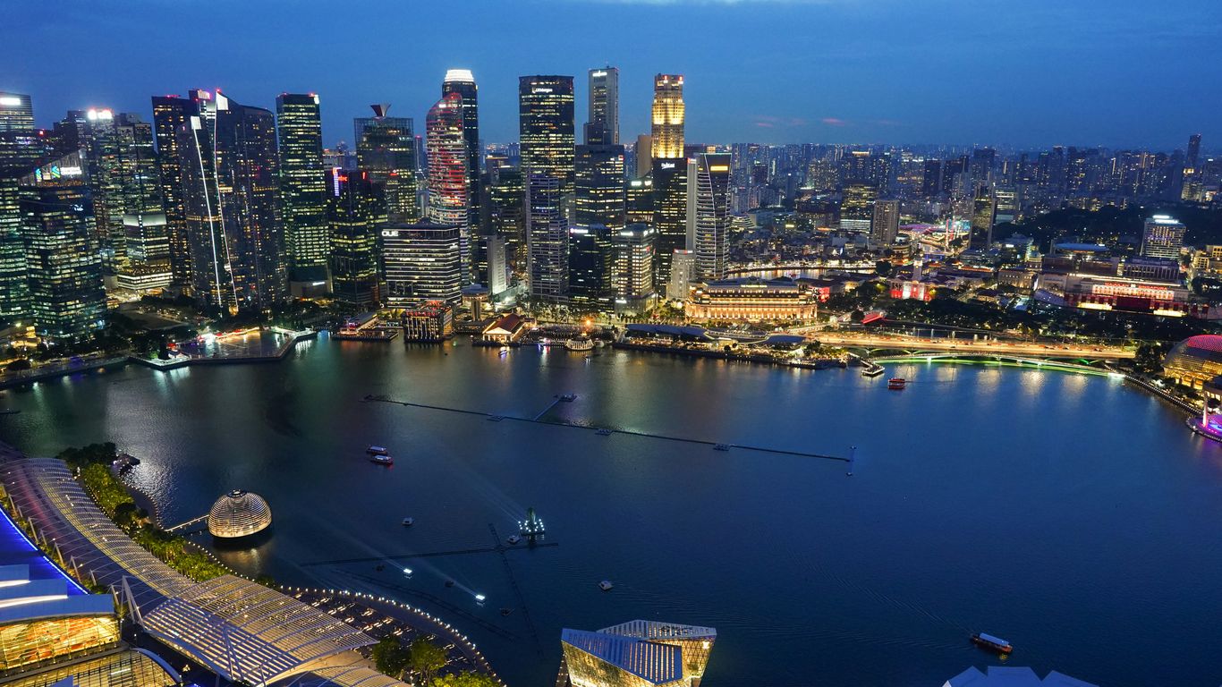
The modern skyline can make the earlier landscape difficult to imagine, but the river’s bends, mouth and adjoining shore still provide clues. Precolonial Singapore was not an empty stage awaiting a British arrival; it was part of established patterns of settlement, seafaring and exchange. Archaeology, place names and regional records add depth to the fragmentary written evidence. The landscape is best read as evidence of continuing contact, not as a simple before-and-after story.
1819 and the making of a British trading port
The arrival of Stamford Raffles in 1819 altered the scale and direction of the river’s commercial life. A British trading outpost developed beside an older maritime setting, bringing new legal arrangements, merchants and cargoes. The river became the practical centre of the settlement because it connected ships offshore with land, labour and storage. Its history after 1819 is therefore a history of acceleration as much as foundation.
Stamford Raffles and the selection of Singapore
Raffles recognised Singapore’s strategic position near the main shipping route through the straits. The British East India Company sought a station that could support trade and challenge other regional ports, and Singapore’s location made it attractive. The agreement established in 1819 created the basis for a British presence, although the island’s existing communities and political connections remained part of the setting. The familiar founding narrative becomes fuller when those earlier layers are kept in view.
The river’s role in the new port settlement
The river gave the new settlement a working edge. Boats could approach the banks, goods could be carried inland, and commercial houses could establish themselves close to the water. As traffic increased, the river became an artery for rice, spices, textiles, timber and other commodities. It was not merely a scenic feature beside the town; it was the town’s principal logistical space.
Early quays, landing places and commercial districts
The banks gradually filled with landing places, storage buildings, shops and offices. Boat Quay developed close to the river mouth, while activity extended upstream towards Clarke Quay and Robertson Quay. These names now suggest dining and leisure, but they first described working edges crowded with boats and cargo. A walk through the Civic District helps place the river within the wider network of institutions, streets and public spaces that grew around it.
How free-trade policies drew merchants and cargo
Singapore’s free-port policy encouraged merchants to bring goods without the heavy restrictions found elsewhere. Ships called, cargo changed hands and trading communities formed around the opportunities. The river became a place where commercial decisions were made quickly, often through personal relationships and credit as much as formal contracts. Its prosperity depended on a constant exchange between regional knowledge and imperial infrastructure.
The coolies who powered the river economy
The port’s statistics can obscure the bodies that made its movement possible. Coolies carried, stacked, hauled and balanced loads in heat, rain and cramped spaces. Their labour linked ship to lighter, lighter to quay and quay to godown. Without that work, the river’s commercial machinery would have stopped almost immediately.
Who the river coolies were and where they came from
Many coolies were migrants from southern China, India and other parts of Asia, arriving in search of work and a way to support families at home or in Singapore. The word covered varied occupations and communities rather than one uniform workforce. Some were recruited through labour intermediaries; others relied on kinship, dialect or village connections. Their journeys are part of the wider migration history that shaped the port city.
Loading, unloading and carrying goods by hand
A working day might involve lifting sacks from a boat, carrying them across a narrow plank and stacking them in a godown. The work required timing and coordination, particularly when tides, weather or crowded quays left little room for error. Loads were heavy, surfaces slippery and breaks limited. Physical labour built prosperity long before mechanised handling changed the waterfront.
Kongsi networks, labour conditions and everyday risks
Kongsi networks could provide accommodation, introductions to employers and mutual support, but they did not remove the insecurity of casual labour. Pay, recruitment debts, illness and injury affected workers whose bargaining power was often weak. Accidents on gangplanks or in overloaded boats were an ordinary danger. Histories of the river are strongest when they describe these conditions without turning hardship into romantic spectacle.
The communities that grew around the waterfront
Workers did not simply disappear after their shifts. They lived near the quays, shared rooms, ate at inexpensive stalls and formed associations that offered practical help. Temples, clan organisations and lodging houses helped migrants create a sense of belonging in an unfamiliar city. The old shophouses of Chinatown offer a related view of how work, shared accommodation and mutual aid shaped neighbourhood life.
Lighters, tongkangs and the movement of cargo
The river was a transfer system as much as a destination. Larger ships often remained offshore, while smaller craft moved goods between anchorage and quay. Lighters and tongkangs made this arrangement workable, carrying cargo through waters where a deep-draught vessel could not safely approach. Their crews knew the river by tide, sound and habit.
Why goods had to be transferred offshore
The river was too shallow and confined for many ocean-going ships, especially as vessels grew larger. Cargo therefore had to be broken down into manageable loads before it reached the bank. This extra step added time and risk, but it also created employment for boatmen, coolies, tally clerks and warehouse workers. The inconvenience became part of the port’s economic rhythm.
The boats that connected ships to the quays
Lighters were practical cargo boats used for short transfers, while tongkangs were larger, sturdier craft associated with the movement of goods along the waterfront and nearby waters. Their broad forms suited heavy loads and crowded conditions. Crews worked with poles, ropes, hooks and hand signals, adjusting to the tide and to the movement of other boats. The river’s traffic was a choreography learned through repetition.
Rice, spices, cotton and other cargoes on the river
Cargoes changed with markets and seasons. Rice was essential to feeding a growing population, while spices, cotton goods, timber, rubber and other commodities connected Singapore to regional and global trade. Different materials demanded different handling: sacks had to stay dry, fragile goods needed care, and heavy bales required coordinated lifting. A simple cargo list therefore reveals a great deal about the port’s dependencies.
The work could be understood through a few linked stages rather than one dramatic arrival:
- A ship anchored beyond the shallow river approach.
- A lighter or tongkang came alongside to receive the cargo.
- Boatmen and coolies balanced the load through the tidal channel.
- Quay workers transferred it into a godown or onward vehicle.
That sequence explains why so many occupations clustered around a narrow strip of water. Each stage depended on the others, and a delay in one place quickly affected the whole chain.
The skills and dangers of lighter work
Lighter work demanded judgement as well as strength. Crews had to read weather, tide, draught and the shifting weight of cargo, often while navigating close to other boats. A mistake could damage goods, injure a worker or destabilise the craft. The skill was practical and largely embodied, passed between experienced workers rather than recorded in formal manuals.
Warehouses, godowns and the architecture of commerce
The buildings beside the river were designed around movement. A godown needed doors wide enough for cargo, floors strong enough for stacked goods and access close to the water. Merchants required offices, storage and communication within a few steps of one another. The resulting architecture was plain in purpose but rich in clues about how trade actually worked.
How riverside godowns were designed for trade
Riverside godowns often had high ceilings, deep plans and large openings facing the quay. Shutters could be opened for ventilation and closed against weather or theft. Upper floors provided additional storage, while ground-level access made loading more direct. Their proportions reflected the size, weight and turnover of the commodities inside.
Boat Quay, Clarke Quay and Robertson Quay
The three quays developed different relationships with the river. Boat Quay’s dense curve sat close to the historic commercial core, Clarke Quay became associated with warehouses and later nightlife, and Robertson Quay extended further upstream. Their present uses can make them appear separate, but they were once parts of one working system. The buildings are easier to understand when the river is imagined full of cargo boats rather than leisure craft.
Merchants, agents and the businesses behind the warehouses
Behind every stack of goods stood a web of merchants, shipping agents, insurers, brokers, tally clerks and shopkeepers. Some firms traded directly; others arranged storage, finance or onward transport. Information was a valuable part of the business, as prices and arrivals could change quickly. The waterfront was therefore an office, marketplace and transport hub at once.
A few broad relationships help explain the buildings’ practical logic:
| Waterfront element | Immediate purpose | Wider commercial role |
|---|---|---|
| Quay edge | Receive boats and cargo | Connect water transport with land routes |
| Godown | Store and protect goods | Hold stock until sale or onward shipment |
| Merchant office | Arrange trade and credit | Link suppliers, buyers and shipping agents |
| Lodging house | Accommodate workers and travellers | Sustain the labour force near the port |
The table shows why the riverfront could not be reduced to warehouses alone. Commerce required storage, administration, labour and shelter in close proximity. The built environment was a record of those dependencies.
Fires, floods and the practical limits of the waterfront
Dense construction brought obvious risks. Fire could spread rapidly through timber, packing materials and closely packed buildings, while flooding and heavy rain disrupted storage and transport. The river also carried waste and silt, narrowing the margin between useful infrastructure and unhealthy congestion. Repairs and alterations were continuous because the waterfront was exposed to both commercial pressure and tropical weather.
A crowded river and the social life of the waterfront
A busy port created a busy neighbourhood. The quays were places of work, but also of eating, drinking, sleeping, worship and negotiation. People met there because the river concentrated opportunity, information and movement. Its social life was not separate from commerce; it grew directly from the demands of commerce.
Taverns, markets and lodging houses along the quays
Taverns and food stalls served workers at irregular hours, while markets supplied the everyday needs of residents and crews. Lodging houses offered inexpensive rooms, often shared by people from the same region or occupation. Such places could be noisy and crowded, yet they provided familiarity and access to work. The waterfront’s informal economy filled the gaps left by official port arrangements.
Chinese secret societies and waterfront power
Secret societies and clan-based organisations played complex roles in migrant life. They could offer protection, mediation and mutual aid, while also becoming involved in disputes, recruitment and control over parts of the waterfront economy. Their influence reflected the vulnerability of newcomers who lacked secure support elsewhere. A careful history avoids both glorifying and flattening these organisations.
Families, workers and life in riverside communities
The waterfront was not populated only by single male labourers. Families lived in nearby streets, children grew up among shops and workshops, and women’s work sustained households and small businesses. Cooking, cleaning, selling, mending and keeping accounts were all part of the port’s daily economy. Everyday heritage stories can help readers notice these quieter forms of labour alongside the better-known merchant narratives.
The contrasts between commercial wealth and waterfront poverty
Trade created fortunes, but prosperity was unevenly shared. Fine offices and substantial godowns stood close to crowded lodging houses, precarious work and poor sanitation. A merchant might see the river as an engine of opportunity while a coolie experienced it as a source of exhausting uncertainty. These contrasting viewpoints belong in the same account of the Singapore River.
From polluted working river to heritage landscape
By the twentieth century, the river carried the costs of its own success. Heavy traffic, waste, overcrowding and industrial activity placed pressure on a waterway never designed for the volume of a modern city. The later clean-up changed not only the water but also the people, jobs and buildings connected to it. Today’s attractive quays are the result of a major social and environmental transformation.
Why congestion and pollution became a national problem
As Singapore grew, the river became increasingly congested and polluted. Waste from boats, workshops, markets and nearby settlements accumulated in a confined channel. Larger ships also required facilities beyond the old riverfront, reducing the practicality of the traditional system. The problem was environmental, but it was also about housing, transport, public health and the limits of inherited infrastructure.
The Singapore River clean-up and relocation of river trade
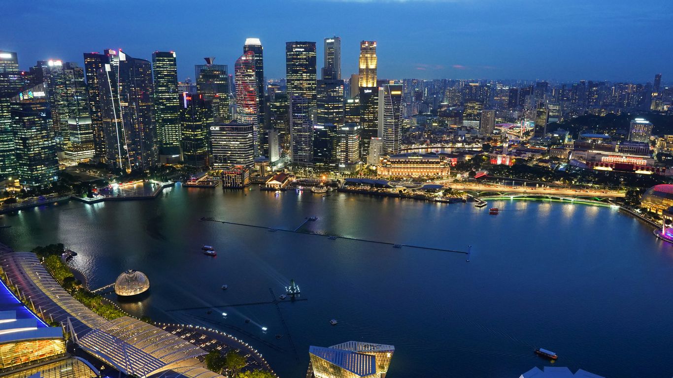
A major clean-up began in 1977, involving dredging, river-wall works and the relocation of activities that had long depended on the quays. By the early 1980s, the river environment had improved considerably, and planning turned towards a new waterfront role. Trade moved away, while promenades, conserved buildings, housing, restaurants and cultural uses took its place. The change was necessary, but it also meant the dispersal of communities and working knowledge.
What survived from the working waterfront
Conserved godowns, quay alignments, bridges and surviving street patterns still carry traces of the old port. They cannot reproduce the noise or smell of cargo work, yet they can anchor stories about the people who used the river. Objects and memories add another layer, especially when they are connected to named makers and communities. Singapore Heritage creates researched gifts that help people carry such stories home, alongside its storytelling experiences.
How to read Singapore River history in today’s quays and landmarks
A visitor can read the river by looking for relationships rather than isolated monuments. The distance between bank and channel, the depth of a godown and the width of a quay all suggest how goods once moved. The Singapore River account offers a useful starting point for tracing its shift from commercial lifeline to heritage waterfront. For a more grounded visit, Singapore Heritage creates small-group heritage walks led by storytellers familiar with the streets, connecting the visible buildings with community memory.
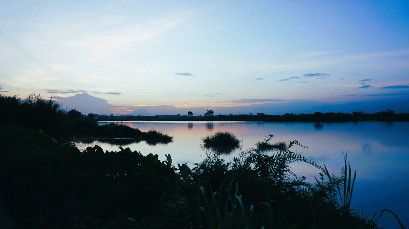
The river is also a reminder that heritage changes when a working system disappears. A conserved façade may survive while the job, household or association that gave it meaning moves elsewhere. That is why walking slowly, listening to local accounts and asking what once happened at each landing place can reveal more than a polished view from the promenade.
Conclusion
Singapore River history is a story of connection: between sea and shore, cargo and labour, migration and neighbourhood, prosperity and environmental cost. Coolies, lightermen, merchants, families and boat owners made the port work, while godowns and quays gave their efforts a durable physical form. The clean-up created a new waterfront, but the older river remains legible whenever its buildings are read through the lives that once animated them.
Frequently Asked Questions
Why was the Singapore River important before 1819?
Its mouth offered access to sheltered water and regional sea routes, making it a useful meeting point for small craft, traders and communities connected to the Malay world.
What changed in 1819?
The establishment of a British trading outpost brought new political and commercial arrangements, accelerating the river’s growth as the centre of an expanding free port.
Who were the river coolies?
Coolie was a broad term for migrant labourers who performed demanding tasks such as carrying, loading and unloading goods. Many came from China, India and other parts of Asia.
What did lighters and tongkangs do?
They transferred cargo between larger ships offshore and the river quays. Their smaller size allowed them to work in shallow, crowded waters.
What was a godown?
A godown was a warehouse used to store imported or exported goods. Riverside godowns were built with features that made loading, ventilation and protection from weather easier.
Why was the river cleaned up?
By the 1970s, pollution, congestion and overcrowding had become serious urban problems. The clean-up improved the waterway while river trade was relocated to more suitable port facilities.
What can visitors see today?
Visitors can see conserved warehouses, bridges, quay lines, promenades and landmarks around Boat Quay, Clarke Quay and Robertson Quay. These places are most revealing when considered alongside the workers and communities who used them.
Walk the River’s Layers
To experience the waterfront through streets, stories and the people behind its changing landscape, readers can explore Singapore Heritage’s small-group heritage walks and book a walk.